

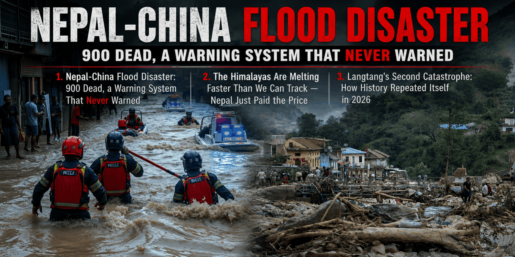
When the Mountain Broke: Inside Nepal’s Deadliest Glacial Flood
Overview
On the morning of Wednesday, 26 August 2026, a catastrophic glacier collapse and debris avalanche in Langtang National Park, Nepal, triggered one of the deadliest flash floods in the region’s recent history. The disaster travelled nearly 100 km downstream along the Lende Khola and Trishuli Khola rivers, tearing through the Rasuwagadhi border crossing between Nepal and China and burying villages, hydropower sites, and a critical highway link between the two countries.
By 31 August, Nepal’s National Disaster Risk Reduction and Management Authority reported the death toll had climbed to more than 900, with hundreds still missing — most of them workers at hydropower construction projects in central Nepal, according to Al Jazeera.
What Triggered the Flood
The event originated at Langtang Lirung, a mountain with a grim precedent: it was the source of a massive glacier collapse and debris avalanche in 2015, triggered by that year’s devastating earthquakes, which buried entire villages and killed over 350 people. This time, scientists point to rapid slope failure involving glacial ice, worsened by the long-term thinning of Himalayan permafrost.
Example — the science behind it: Alton C. Byers, a senior research associate at the University of Colorado’s Institute of Arctic and Alpine Research, explained that permafrost has functioned as the “cryospheric glue” holding rock, ice, and glacial mass together for millennia — and warming trends are now steadily weakening that bond. Not all researchers directly attribute this specific event to climate change, with some pointing to more immediate geological triggers, but the broader pattern of glacial instability in the region is well documented.
Why the Early Warning System Failed
Nepal and China have jointly operated a flash-flood early warning system for years, credited by regional media with preventing casualties in prior events. But this system was built primarily to detect monsoon and perennial river floods — not a sudden glacial debris avalanche.
Highlight: The upstream monitoring stations meant to detect exactly this kind of event were themselves swept away by the flooding before any alert could be issued, leaving downstream communities with essentially no warning window.
Human and Infrastructure Toll
- Deaths: Over 900 confirmed as of 31 August, with bodies reportedly surfacing far downstream and local morgues overwhelmed, per the Kathmandu Post.
- Missing: Hundreds, largely hydropower workers.
- Injured: At least 466, per Nepal’s Ministry of Health Emergency Operation Center, with most being treated at hospitals near the disaster zones.
- Evacuated/displaced: On the Chinese side, 555 stranded tourists were relocated and 499 affected villagers evacuated from the Gyirong border zone.
- Infrastructure: A vital cross-border highway, multiple hydropower stations, bridges, water systems, and telecommunications networks were damaged or destroyed.
The Emergency Response
China’s side: State broadcaster CCTV reported roughly 800 meters of disaster-damaged road near the Gyirong port had been cleared within two days, with over 681 firefighters, 13 rescue dogs, 113 vehicles, and 47 drones deployed by the National Fire and Rescue Administration.
Nepal’s side: Prime Minister Balen Shah announced free treatment for the injured. Local hospitals and colleges, including facilities offering free care for needy patients, mobilized to absorb casualties, though as of the first days, major facilities like Kathmandu’s teaching hospitals had not yet received transferred flood patients.
International response: Humanitarian organizations moved quickly:
- UNICEF pre-positioned hygiene kits at Kathmandu’s Tribhuvan International Airport for distribution to flood-hit communities in Rasuwa and Nuwakot districts, and can typically deploy emergency supplies almost anywhere within 72 hours.
- CARE Nepal, working with the National Disaster Risk Reduction and Management Authority and local partners including the Community Self Reliance Centre and Sahayatri Samaj Nepal, launched a rapid assessment focused on how the disaster and displacement are disproportionately affecting women, girls, older people, and people with disabilities.
A Pattern, Not an Anomaly
This is not an isolated event — it’s the latest in a recurring sequence of glacial and monsoon flood disasters in Nepal:
| Year | Event | Deaths | Cause |
|---|---|---|---|
| 2024 | Kathmandu Valley floods | 224+ | Extreme monsoon rainfall (up to 322mm in 2 days) |
| 2025 | Rasuwagadhi flood | 8+ | Glacial lake outburst (Tibet side) |
| 2026 | Langtang/Rasuwagadhi flood | 900+ | Glacier collapse and debris avalanche |
The trend line is unmistakable: Nepal’s mountain border regions are facing increasingly frequent, increasingly destructive glacial disasters, and each event has been more severe than the one before it.
The Bigger Picture
This disaster exposes a structural vulnerability in Himalayan disaster preparedness: warning systems calibrated for known, recurring hazard types (seasonal monsoon floods) are proving inadequate for the newer, less predictable hazard of glacial slope collapse — a risk that is itself intensifying as permafrost degrades. Rebuilding cross-border infrastructure will take time, but the harder question facing Nepal, China, and international disaster-response bodies is whether monitoring systems can be redesigned fast enough to catch the next glacial event before it happens rather than after.
References:
- USGS — 2026 Nepal Debris Avalanche and Flash Flood
- Al Jazeera — Nepal-China flood disaster: What’s the latest toll, how many are missing? (Aug 31, 2026)
- CNN — Deadly flash flood hits Nepal-China border region (Aug 26–27, 2026)
- CARE — Nepal flash floods 2026: CARE’s emergency response
- UNICEF USA — Deadly Flash Flooding Hits Nepal
- Wikipedia — 2025 Nepal floods / 2024 Nepal floods (historical comparison)